Day two of the Inca Trail hike started at around 3,500m for us and would lead us all the way over a pass of 4,700m above sea level. Our camp was in a valley and compared to the rest of the Andean highland that we passed through the day before and would again today it was quite green, with bushes and shrubs growing all around us. Except for us, there were two farmers huts without running water (well, if you don’t count the river) and electricity in the valley and that was it. We started our journey at around 6am, heading up the valley.
But then we turned to the right, and headed up the mountain, back into the Peruvian highland with its yellow grass. The ascend was quite steep for a couple hundred meters of altitude (about half an hour), but then was a lot more gradual at higher altitudes.
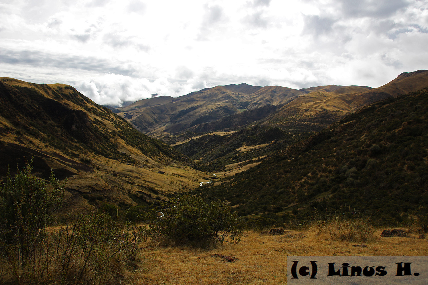
Here is a look back at the side valley we were now heading up. At least we had a lot more luck with the weather than the previous day.
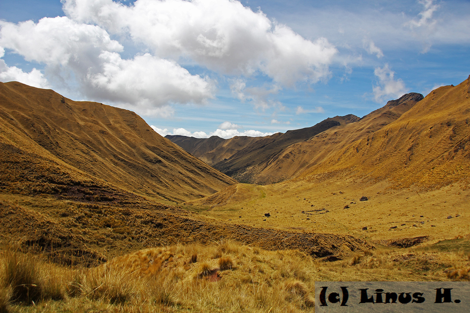
And these were the mountains to either side of the valley, which were even lower than the pass that we would have to pass over.
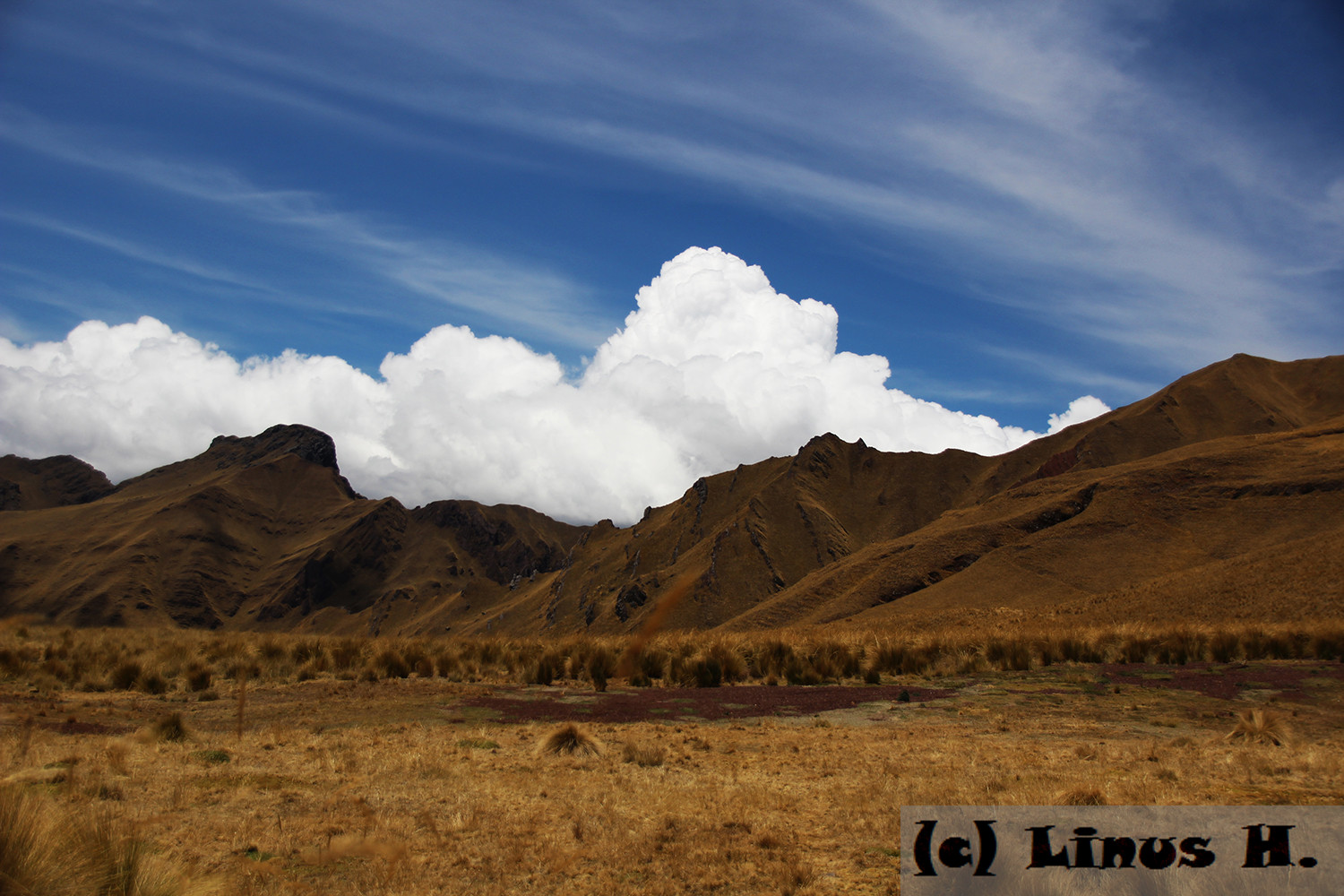
Resting on a flat part of the valley, at an altitude of around 4,100m above sea level. Behind the mountains, where the towering clouds are forming, are the outskirts of the Amazon rain forest.
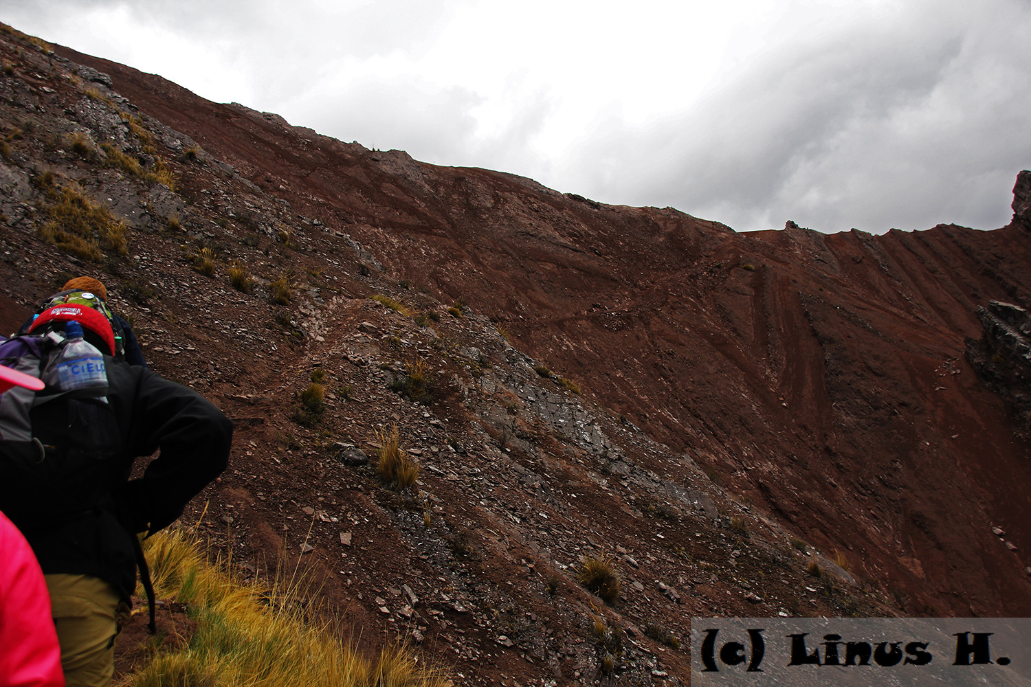
The climb grew a lot steeper soon as we approached the peak of the mountain. There was only a thin, rocky path made mainly by the wild animals traveling through the mountains and occasionally used by humans, to the left was the mountain, to the right the ground dropped down about 200m. But for the first time since almost 24 hours, we received mobile data on our phones and were able to contact our friends in other hiking groups. We were so grateful for this that we dubbed the mountain “Data Mountain”.
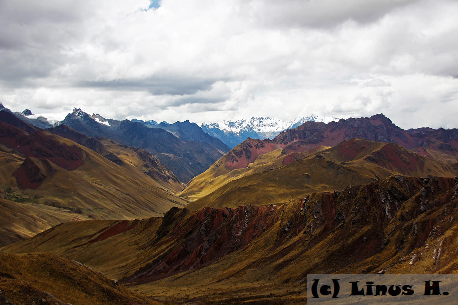
Then we officially reached the 4,700m pass – the highest point on our journey through the Andes. From now on, we would travel mostly downhill. The view from up there was incredible, and worth all the effort so far.
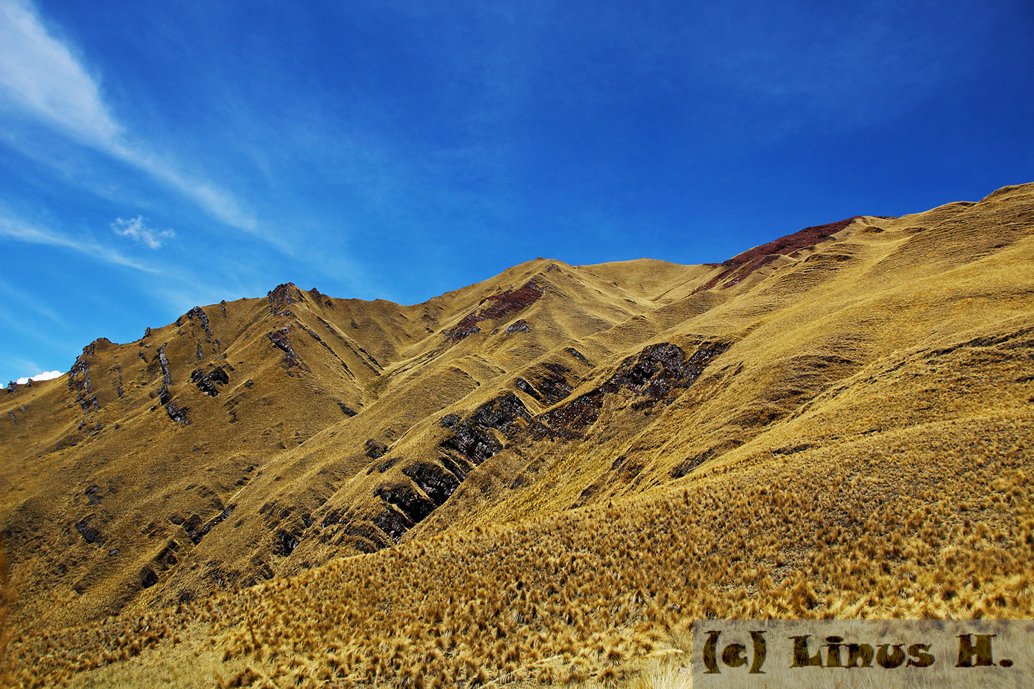
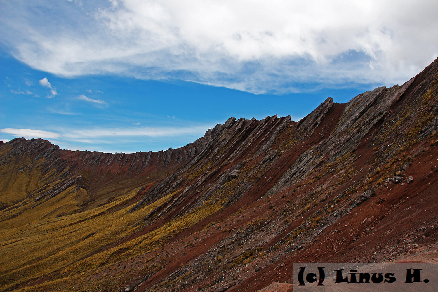
The mountains around us clearly showed the power of the geologic processes that formed, and still do so, the Andes.
And more of the amazing view:

Then we started our descend along the valley, approximately in the direction of the photo above. We had around an hour to go to lunch, and four or five until we’d reach our night camp. The mountains still displayed the immense force of the natural processes that had formed them.
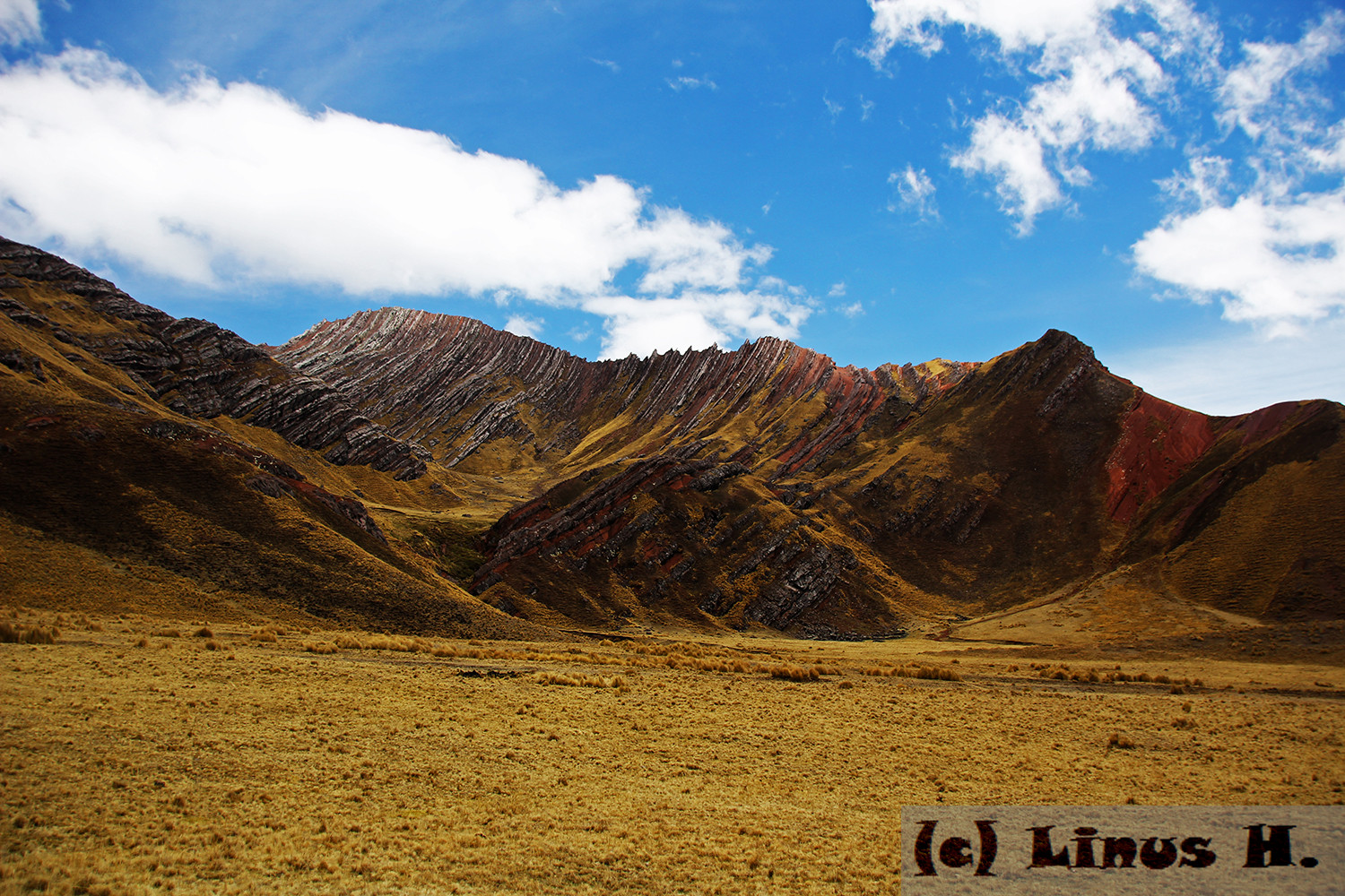
Finally we arrived at our lunch camp. While we had lunch, the weather considerably worsened and it started hailing again. It didn’t quite stop by the time we were done, even though we waited for a while, so we had to continue hiking in the hail and quite a bit of wind, which was channeled by the thin valley we were in.
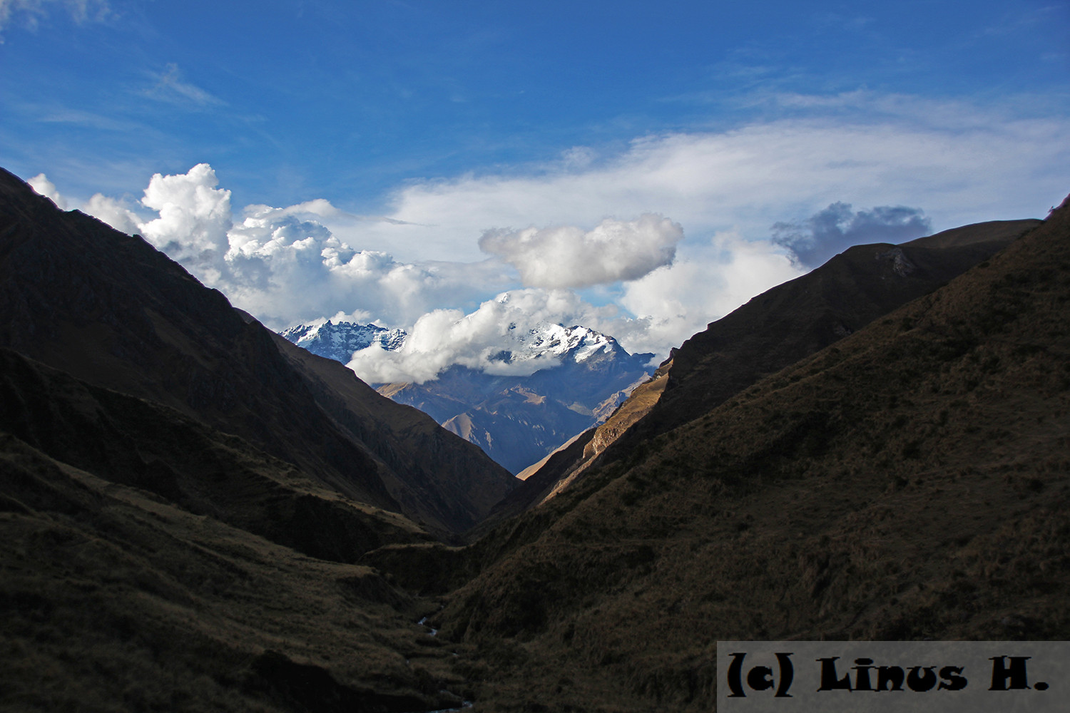
After about two more hours of hiking, we arrived at our night camp. It was next to an abandoned elementary school, which apparently was left in 2011. Everything was exactly how it had been left; I found the photo of a kid lying on the floor, with “2007” and “Cusco” written onto the back. There were still posters on the wall of the room, the textbooks were still there, decorations made by the students were hanging form the ceiling, tables and chairs were still in the room. We had dinner there, in the (mostly) dark.
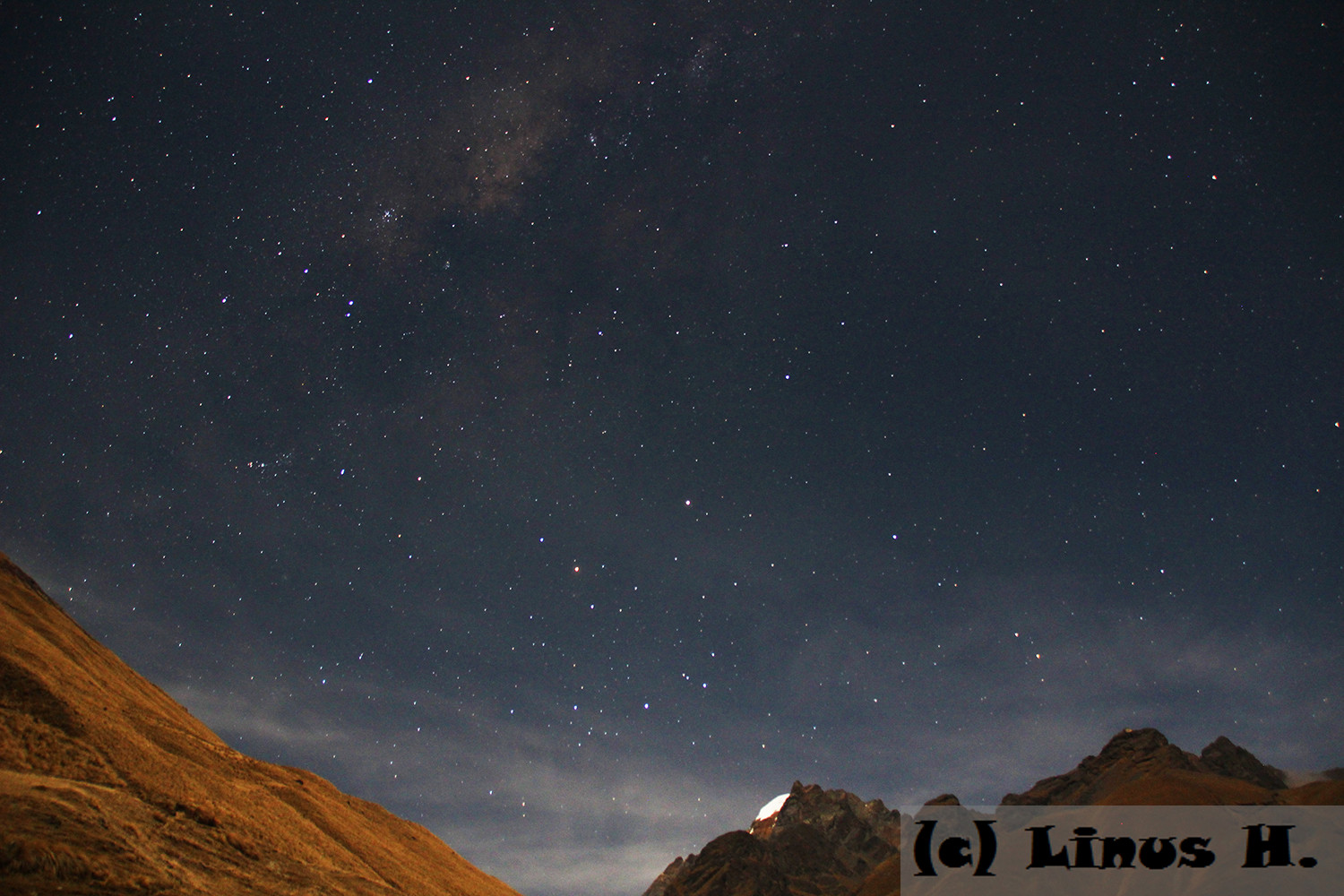
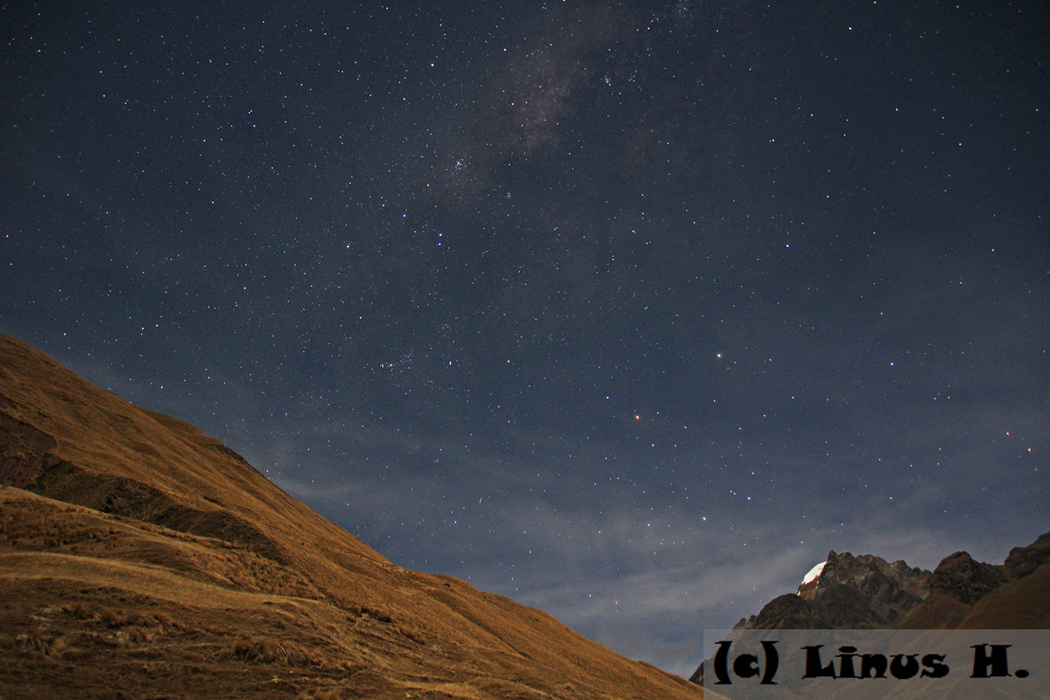
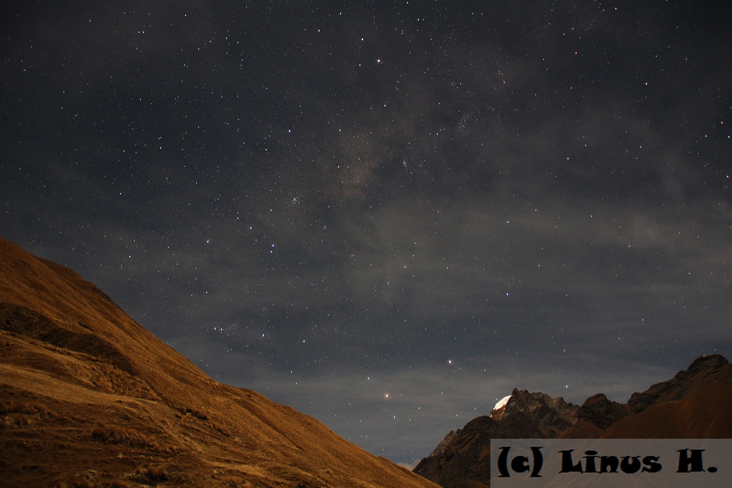
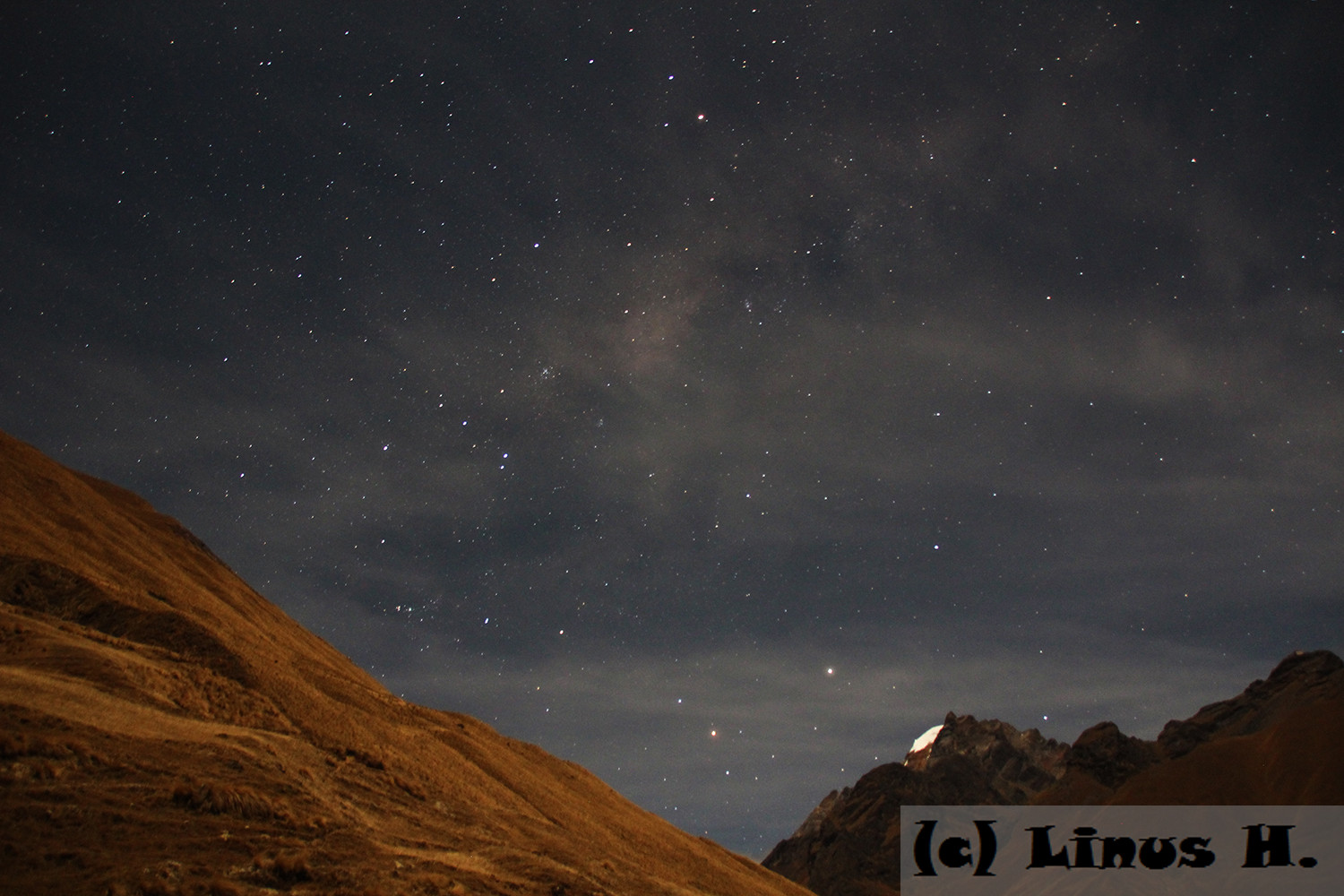
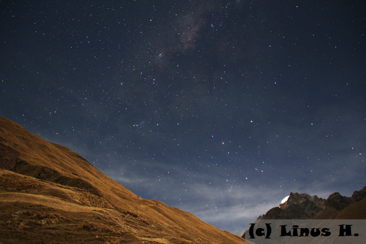
Afterwards, I took some photos of the night sky.