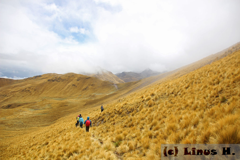
After two days of “preparation hikes” around Zurite, it was now time to embark on the actual Trek that would take us through the Andes for three days. We would be accompanied by two professional guides as well as an “ambulance horse” in case anything happened.
Zurite is located “only” at about 3,000 meters, and the plan for the first day was to climb a 4,400 meter pass, with the hike being uphill pretty much all the time.
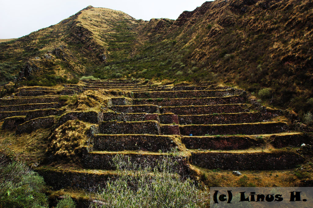
About an hour after we started hiking, we came to the Incan temple of the hummingbird, which supposedly has the shape of a hummingbird when viewed from above.
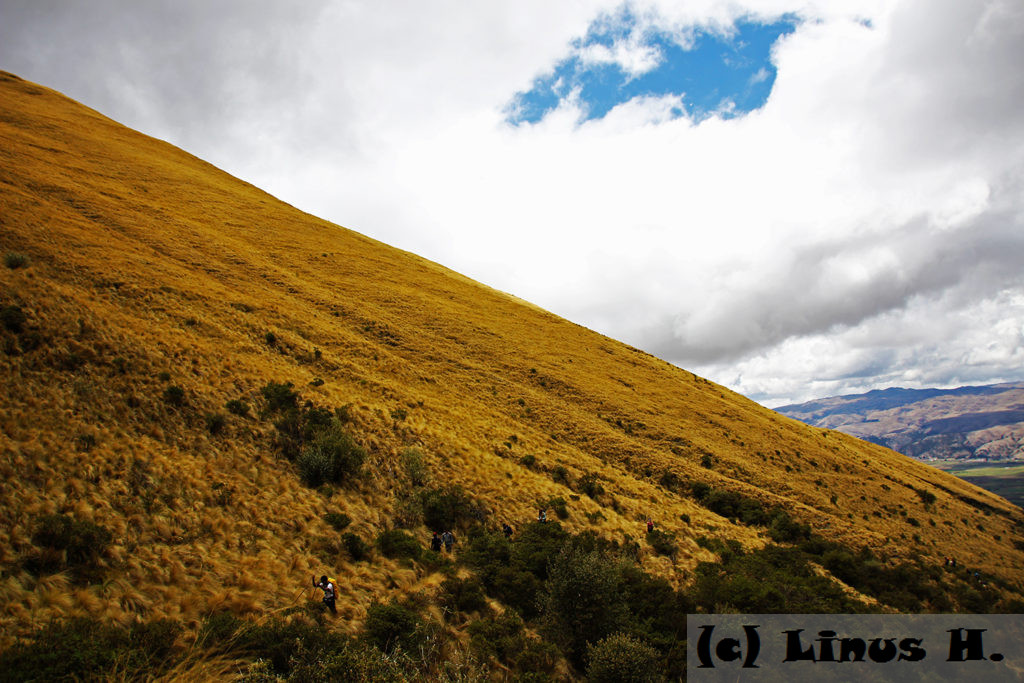
We continued hiking uphill through a narrow and quite steep valley at a nerve-wracking, but necessarily slow pace. The altitude makes any physical activity a lot more difficult, and some of our people experienced problems and needed to temporarily give their bags to the “ambulance horse”.
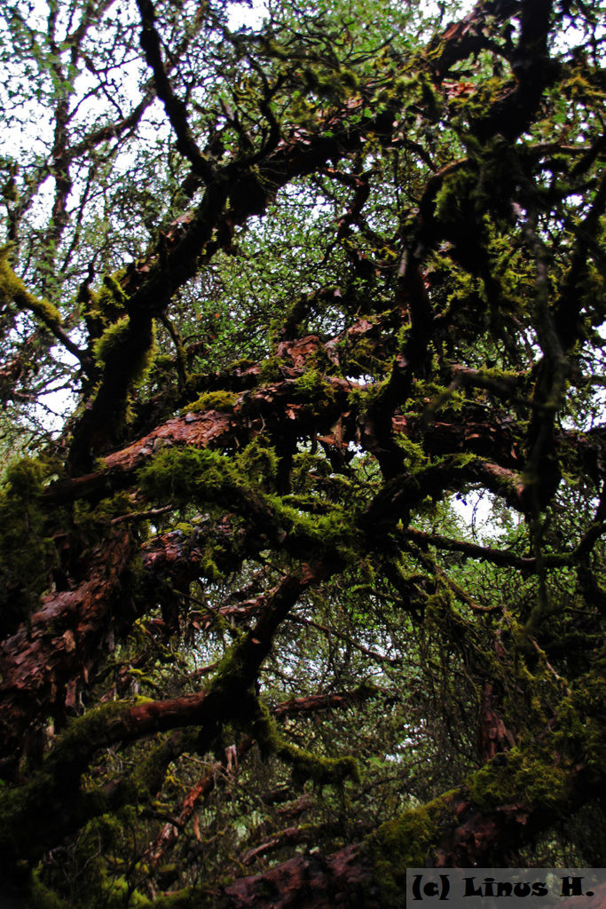
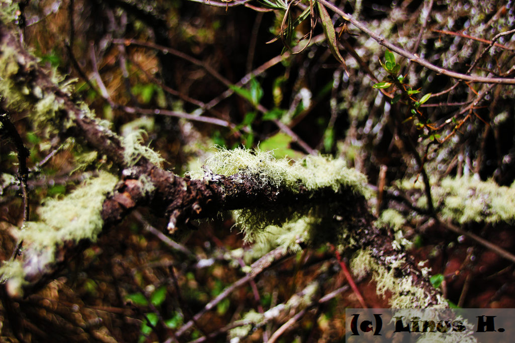
On the way up the valley, we passed through a queuña forest. Queuñas are indigenous trees that used to cover the region before the Spanish deforested it and eucalyptus was introduced into the region about 200 years ago. These are also the trees that I planted for the social development project in Urubamba and on the first day of the hike through the Andes. It is quite amazing to feel how these queuña trees create their own microclimate; it is a lot cooler and more humid in the forest.
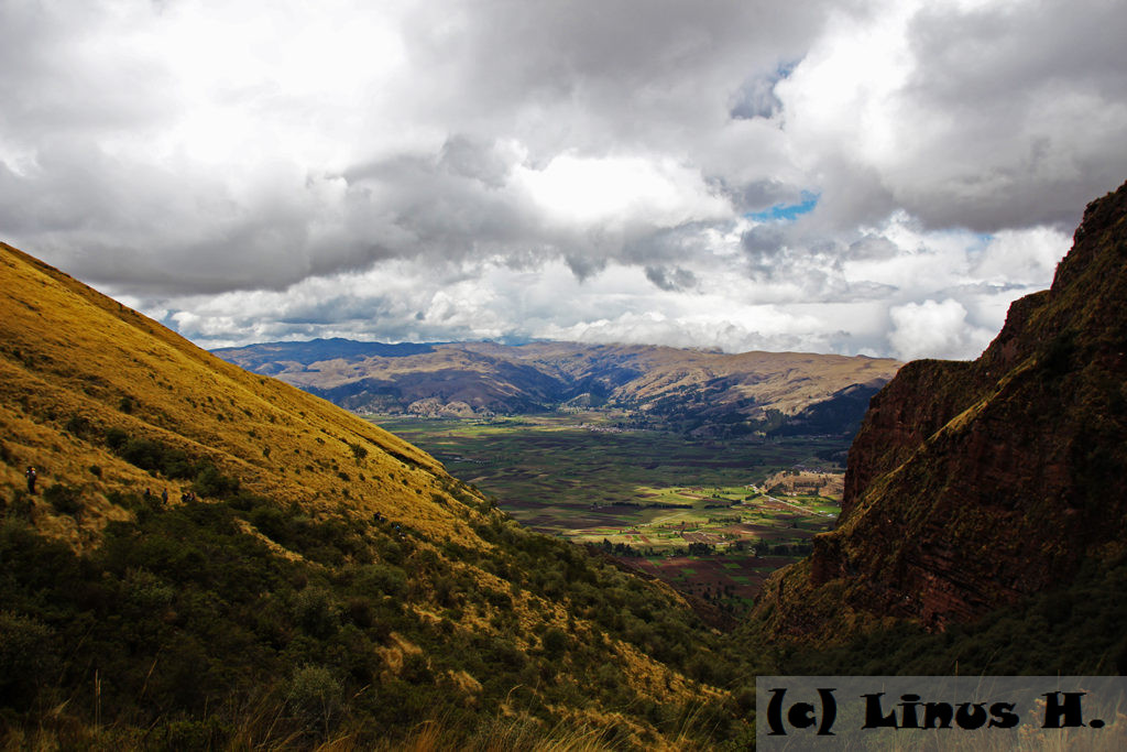
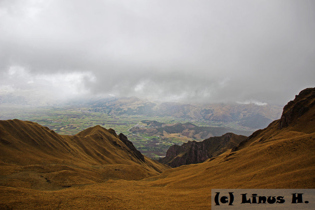
After several hours of very strenuous hiking, we reached the top of the valley – and what a view we had. Although we had climbed only about 500 meters, the altitude of now 3,500 meters made it a lot more difficult. We had now reached the altitude where most trees stopped growing and we were about to enter the Andean grassland, which would be by far the dominating landscape for the coming few days. In the background, we could see the “Pampa Andina”, the Andean Pampa, a flat area near Zurite which was the Inca’s “personal garden” – all the food the Inca ate had to be grown there.
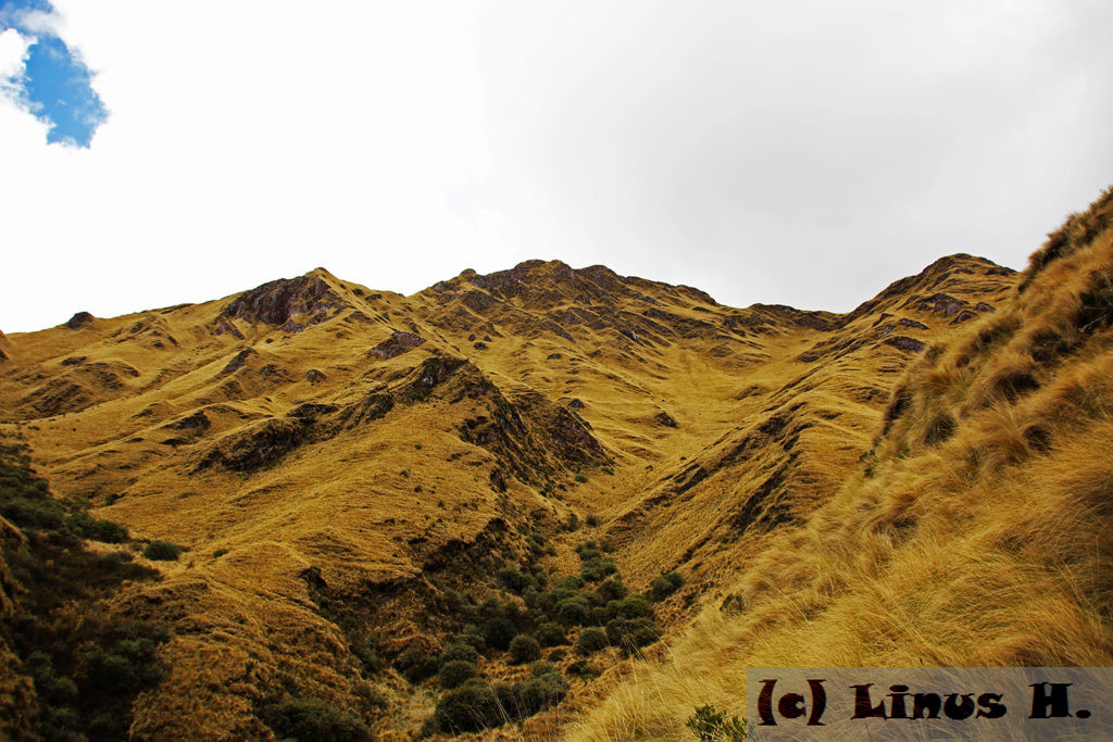
Looking in the other direction, we saw what still lay ahead of us – or so we thought. Actually, we would go around the mountain we were on at the time and climb even higher than the mountains we saw from here, but we didn’t know that yet.
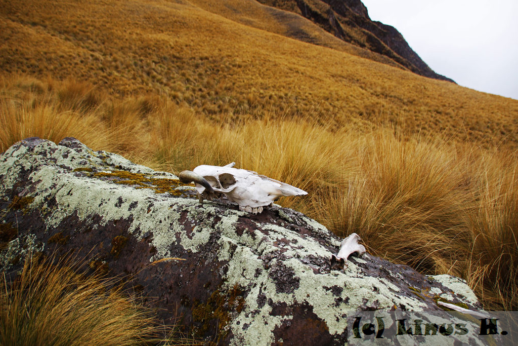
With increasing altitude, the biodiversity became less and less. Occasionally, there were some birds of prey or vultures in the sky, and once a guinea pig crossed our path, but that was pretty much all the wildlife we saw – alive.
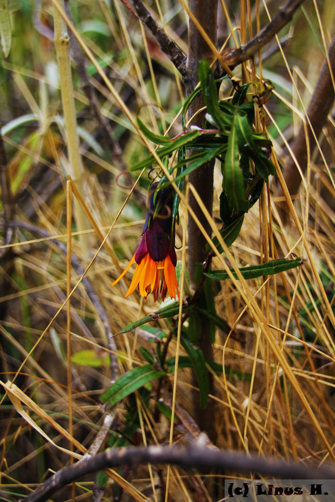
And there were still occasional specks of color made by some tough flowers that somehow managed to survive the harsh conditions at this altitude.
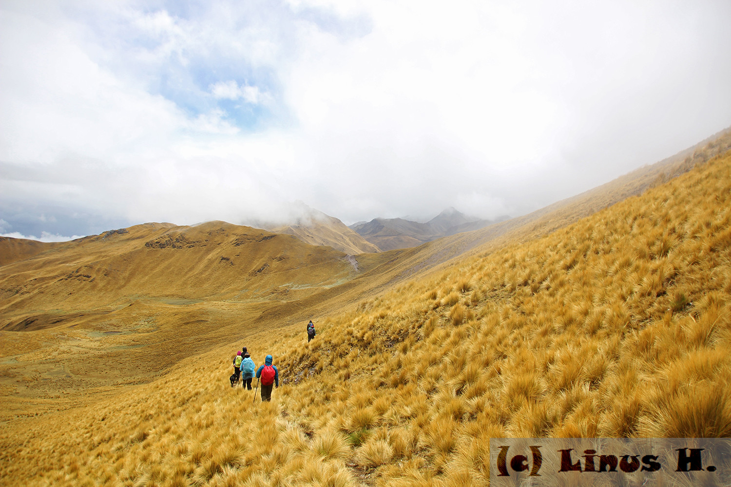
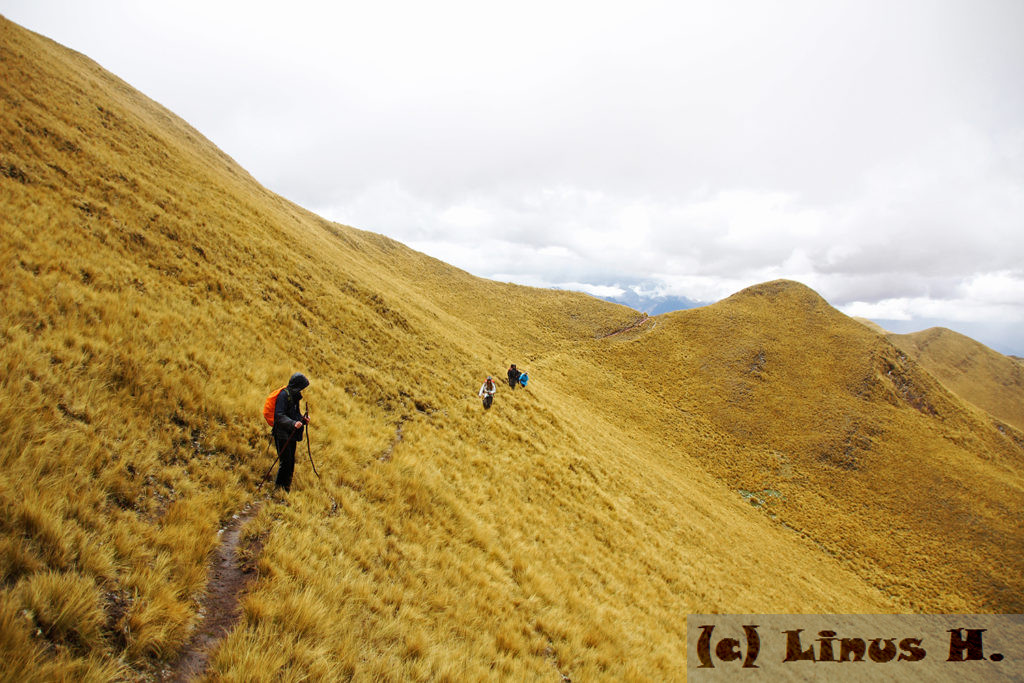
We continued hiking up the mountain for a couple more hours. When we reached about 4,100m clouds started spilling over the mountains to the left of us; a warning sign that were about to get into very bad weather.
Looking back, the valley that we had struggled up in the morning suddenly seemed very easy compared to what we had done since then.
Shortly before we reached the pass at 4,400m, it started hailing. And it hailed quite intensely; in fact, the ground was covered in hail and looked as if it had snowed. The temperature dropped to 4 degrees Celsius, and the wind picked up and became quite gusty. It was freezing cold, and it was very difficult for us to convince ourselves to carry on. But we had reached the pass and were always a bit closer to lunch with every step we took. So we carried on; went over the pass, along the top of mountain at 4,400m. After about half an hour, it stopped hailing. But it was still very cold and windy.
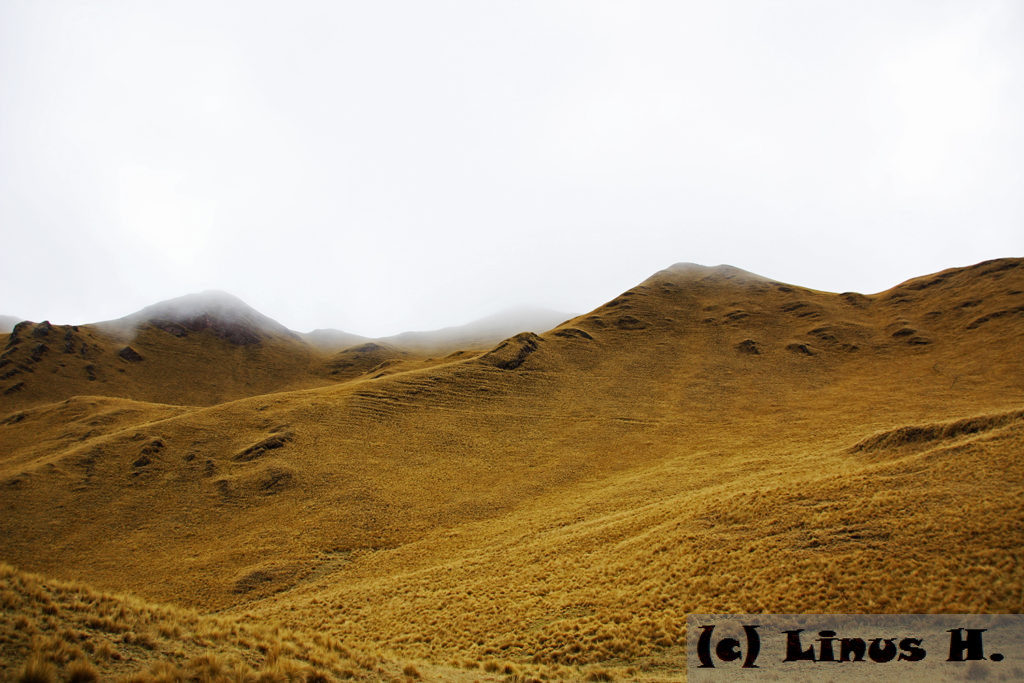
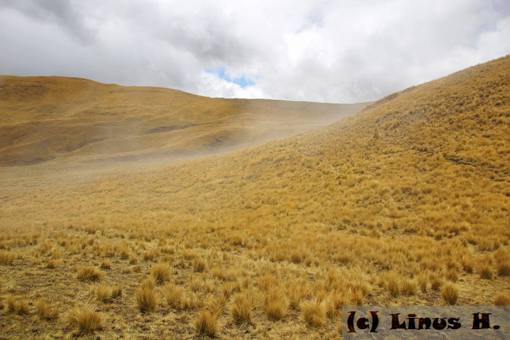
Later, the sun decided to come out and temporarily attempt to dry the land, creating swathes of fog. But the wind continued picking up, so it still wasn’t especially warm. The only thing that kept us going was the warm lunch that would be provided for us at the “lunch camp”.
Even after lunch, the weather stayed crazy; very cold, windy and with occasional hail and sunshine. But we went from lunch to our night camp with a single break; we all wanted to go to sleep as quickly as possible, knowing that we had two more days to go.
